Free geography ebook course on latitude, longitude, GPS, and time zones. Learn global position skills and earn a free certificate.
Course content
Earth’s Coordinate System: Latitude and Longitude for Global Position
2Degrees vs. Distance: Converting Coordinates into Real-World Measurements
3Hemispheres, Signs, and Coordinate Notation: Avoiding Common Confusions
4Map Grids and Projections: Why Coordinates Look Different on Flat Maps
5Time Zones and Local Solar Time: How Longitude Connects to the Clock
6The International Date Line: Calendar Changes and Crossing the Pacific
7Day Length and Seasons: Latitude, Sun Angle, and What Changes Through the Year
8Great-Circle Thinking: The Shortest Path on a Sphere and Why Routes Curve on Maps
9Coordinates in Modern Mapping and GPS: From Satellites to Your Device
10Practical Coordinate Workflows: Reading, Sharing, and Verifying Locations Worldwide
Course Description
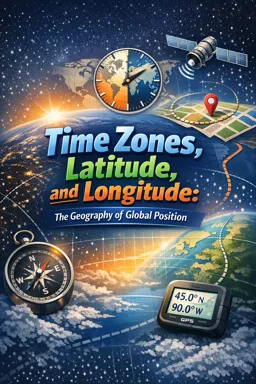
Time Zones, Latitude, and Longitude: The Geography of Global Position is a practical geography course in basic studies that helps you understand how the world is organized for navigation, mapping, and everyday location sharing. If you have ever wondered how GPS knows where you are, why flight paths curve on maps, or why time changes as you travel east or west, this course gives you clear answers you can use right away.
You will build a solid foundation in Earth’s coordinate system, learning how latitude and longitude describe global position and how coordinate notation, signs, and hemispheres can change meaning when written or read incorrectly. You will also connect degrees to distance so you can interpret coordinates as real world measurements, estimate travel ranges, and verify locations with confidence when planning routes, fieldwork, or research.
To make coordinates truly usable, the course explains map grids and projections and why the same location can appear distorted on a flat map. You will develop great circle thinking to understand the shortest path on a sphere and why routes often look curved in mapping apps. Along the way, you will see how modern mapping and GPS rely on satellites, coordinate standards, and practical workflows for reading, sharing, and confirming locations worldwide.
Global position is not only about place, it is also about time. You will learn how longitude connects to local solar time, how time zones are defined, and why the International Date Line changes the calendar when crossing the Pacific. You will also explore how latitude affects day length and seasons through changes in sun angle across the year, helping you interpret real world patterns in climate, travel planning, and daily life.
Start this free geography ebook course today to gain a dependable understanding of coordinates and timekeeping, and use latitude, longitude, and time zones with clarity wherever you are in the world.
This free course includes:
10 content chapters
Digital certificate of course completion (Free)
Exercises to train your knowledge
100% free, from content to certificate
Ready to get started?

 recommended
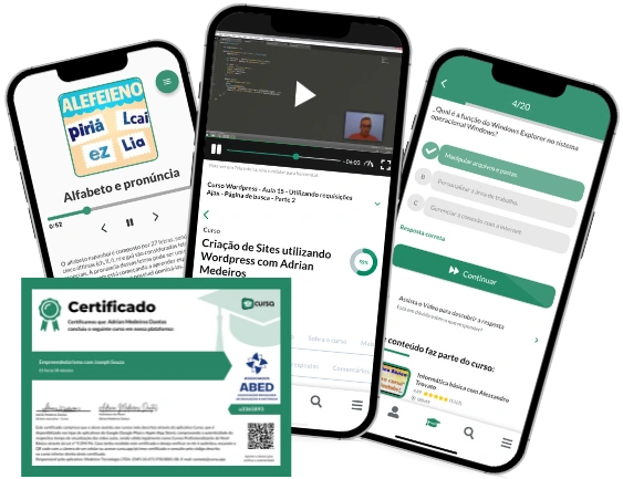
In the app you will also find...
Over 5,000 free courses
Programming, English, Digital Marketing and much more! Learn whatever you want, for free.
Study plan with AI
Our app's Artificial Intelligence can create a study schedule for the course you choose.
From zero to professional success
Improve your resume with our free Certificate and then use our Artificial Intelligence to find your dream job.
You can also use the QR Code or the links below.