Free geography ebook course with free certification. Learn maps, coordinates, climate, biomes, and world regions with practical lessons for everyday use.
Course content
Map Symbols, Scale, and Direction for Everyday Map Reading
2Latitude, Longitude, and the Global Grid System
3Coordinates in Practice: Locating Places and Estimating Distance
4Map Projections and Why the World Looks Different on Different Maps
5Interpreting Physical Maps: Landforms, Elevation, and Relief
6Interpreting Political Maps: Borders, States, and Administrative Regions
7Topographic Thinking: Contour Lines and Terrain Interpretation
8Navigating with Map Exercises: Routes, Bearings, and Spatial Reasoning
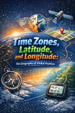
9Time Zones, the International Date Line, and Local Time Calculations
10Using Memory Aids for Capitals, Regions, and Spatial Patterns
11Atmosphere Basics: Weather Elements and What They Indicate
12Global Climate Drivers: Latitude, Altitude, Oceans, and Winds
13Ocean Currents and Their Role in Regional Climates
14Climate Zones and the Logic Behind Climate Classification
15Reading Climate Graphs: Temperature, Precipitation, and Seasonality
16Biomes and Ecosystems: Linking Climate to Vegetation Patterns
17Water on Earth: Rivers, Drainage Basins, and Watersheds
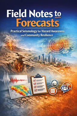
18Natural Hazards and Spatial Risk: Earthquakes, Volcanoes, Storms, and Drought
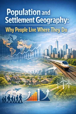
19Population Patterns: Density, Urbanization, and Settlement Geography
20Cultural Geography Snapshots: Language, Religion, and Identity Landscapes
21Economic Geography Snapshots: Resources, Trade Routes, and Development Patterns
22Regional Frameworks: How Geographers Divide the World
23North America: Physical Regions, Climate, and Economic Links
24Latin America and the Caribbean: Biomes, Cities, and Trade Patterns
25Europe: Peninsula Geography, Climate Gradients, and Regional Diversity
26North Africa and Southwest Asia: Aridity, Water Systems, and Connectivity
27Sub-Saharan Africa: Biomes, Population Patterns, and Economic Corridors
28South Asia: Monsoon Systems, Rivers, and Dense Settlement
29East and Southeast Asia: Coastal Hubs, Mountains, and Regional Networks
30Oceania and Polar Regions: Islands, Remote Climates, and Environmental Challenges
Course Description
World Geography Essentials: Maps, Climate, and Regions in 30 Lessons is a practical ebook course designed for basic studies learners who want to understand how the world works and how to read it with confidence. You will build everyday map reading skills and connect physical landscapes, climate patterns, and human activity into a clear geographic picture you can use in school, travel planning, news literacy, and general knowledge.
Start by mastering the language of maps, including symbols, scale, direction, and spatial reasoning. You will learn how latitude and longitude create a global grid system, how to use coordinates to locate places and estimate distance, and why map projections change the way continents and oceans appear. As you interpret physical, political, and topographic maps, you will develop terrain awareness through elevation, relief, contour lines, routes, and bearings, along with time zones, the International Date Line, and local time calculations.
Next, explore the foundations of weather and climate in geography. You will connect atmosphere basics to real observations, then see how latitude, altitude, oceans, winds, and ocean currents drive regional climates. Through climate zones, classification logic, and climate graphs, you will learn to read temperature, precipitation, and seasonality and link them to biomes, ecosystems, and vegetation patterns. The course also connects water systems such as rivers, drainage basins, and watersheds to natural hazards and spatial risk, including earthquakes, volcanoes, storms, and drought.
To bring it all together, the course expands into human geography with population density, urbanization, settlement geography, and cultural and economic patterns like language, religion, identity landscapes, resources, trade routes, and development. You will use regional frameworks to understand how geographers divide the world, then apply them across North America, Latin America and the Caribbean, Europe, North Africa and Southwest Asia, Sub-Saharan Africa, South Asia, East and Southeast Asia, and Oceania and the polar regions.
Open the ebook and start learning world geography step by step, building skills you can apply immediately to maps, climates, regions, and real-world questions.
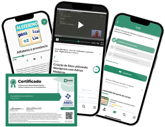
This free course includes:
30 content chapters
Digital certificate of course completion (Free)
Exercises to train your knowledge
100% free, from content to certificate
Ready to get started?

 recommended
In the app you will also find...
Over 5,000 free courses
Programming, English, Digital Marketing and much more! Learn whatever you want, for free.
Study plan with AI
Our app's Artificial Intelligence can create a study schedule for the course you choose.
From zero to professional success
Improve your resume with our free Certificate and then use our Artificial Intelligence to find your dream job.
You can also use the QR Code or the links below.