Duration of the online course: 5 hours and 34 minutes
New
Strengthen your geography and Earth science understanding by exploring how Australia is studied, mapped and managed through modern geoscience. This free online course connects physical geography with real national-scale research, showing how scientists turn measurements from land, sea and subsurface into usable knowledge for decision-making. You’ll build confidence interpreting geospatial evidence and develop a clearer picture of how Australia’s landscapes, resources and environments are investigated.
Begin with an accessible look at passive seismic surveys and why listening to natural vibrations can reveal what lies beneath the surface. From there, follow how groundwater information is organised across jurisdictions, and why consistent datasets matter for water planning, climate resilience and community needs. The course then expands offshore to the oceans, highlighting the value of high-resolution seabed mapping and what new detail can change in our understanding of marine environments.
You’ll also encounter Australia’s geological history through time, linking deeper Earth processes to what we observe on the surface today. A practical lens is applied to current challenges such as emissions reduction, using CO2 storage as a case study in how geology can support climate solutions and future energy pathways. Finally, you’ll see how national mapping and exploration programs bring together multiple data sources to improve knowledge of minerals and hidden geology.
Throughout, short exercises help you check comprehension and refine key ideas without overwhelming jargon. Whether you are studying school geography, preparing for further science learning, or simply curious about how Australia is explored and mapped, you’ll finish with a stronger foundation and a more informed way to read maps, datasets and geoscience stories in the news.
Explore free courses in Physical Geography. Understand Earth's landscapes, climates, and ecosystems through engaging, in-depth lessons. Perfect for geography enthusiasts!
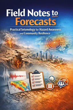
Explore the science of earthquakes with two free online courses on Seismology. Learn about seismic activity, earthquake prediction, and the physics behind Earth's movements.
Explore our free online Geoscience course and discover Earth's dynamic processes, geology, and environmental systems at your own pace.
5 hours and 34 minutes of online video course
Digital certificate of course completion (Free)
Exercises to train your knowledge
100% free, from content to certificate
Ready to get started?Download the app and get started today.
Install the app now
to access the courseOver 5,000 free courses
Programming, English, Digital Marketing and much more! Learn whatever you want, for free.
Study plan with AI
Our app's Artificial Intelligence can create a study schedule for the course you choose.
From zero to professional success
Improve your resume with our free Certificate and then use our Artificial Intelligence to find your dream job.
You can also use the QR Code or the links below.


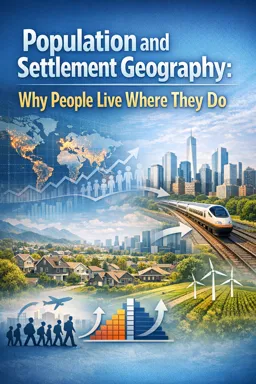
Free CourseHuman Geography course
5

(5)

3h34m

34 exercises

Free CoursePhysical Geography
5
(2)
11h24m
42 exercises

Free CourseGeography
4.84
(31)
6h49m
11 exercises

Free CourseWorld geography
4.68

(28)
2h03m
10 exercises

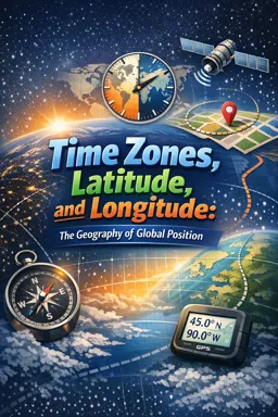
Free CourseWorld Regional Geography
4.67
(3)
3h42m
10 exercises

Free CourseGeography
4.62
(21)
28h42m
11 exercises

Free CourseUK geography
New
8h58m
17 exercises

Free CourseGeography Course
New
10h34m
9 exercises

Free CourseGeography Through Maps
New
20h32m
22 exercises

Free CourseIntroduction to Marine Magnetometry
New
46m
6 exercises
Thousands of online courses in video, ebooks and audiobooks.
To test your knowledge during online courses
Generated directly from your cell phone's photo gallery and sent to your email
Download our app via QR Code or the links below::.
Carry knowledge in your pocket.
Download the Cursa app.
There are hundreds of free courses available, with a free certificate of completion that is saved in your mobile image gallery.
Download the app to access the Course Completion Certificate for Free.

+ 10 million
students
Free and Valid
Certificate
60 thousand free
exercises
4.8/5 rating in
app stores
Free courses in
video and ebooks