Detection range is primarily determined by the target's magnetic mass and its distance from the sensor; magnetic signals weaken rapidly with distance.

Duration of the online course: 46 minutes
New
Build skills in marine magnetometry: learn how seabed surveys detect anomalies, design better grids, and earn a free course certificate to boost your profile.
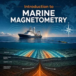
Marine magnetometry is a powerful way to read hidden patterns beneath the sea, from small man‑made objects to broader geological signals. In this free online course, you will learn how magnetometers work in marine settings and why the surrounding environment, instrument setup, and survey decisions can drastically affect what you detect and how confidently you interpret it. The focus is practical and concept-driven, helping you connect core geography and Earth science ideas to real survey outcomes.
You will explore what controls detection range and why distance matters so much when measuring magnetic anomalies. By building an intuitive grasp of field strength and how signals change with separation, you will be better prepared to judge what a magnetometer can realistically find during a survey and what may remain invisible. You will also learn how objects distort the Earth’s magnetic field and how that distortion shows up in measurements, which is essential for distinguishing meaningful anomalies from background variation.
Survey design is a central theme throughout the course. You will consider how to plan a survey grid, how spacing and coverage influence the chance of locating a target, and how to think about instruments used to support reliable mapping across transects. You will also work through common interpretive challenges, including how different object shapes and internal structures can change the anomaly you expect to observe, such as the signatures produced by hollow targets compared with solid ones.
Because the course includes targeted questions and exercises, you will not only absorb terminology but also practice applying it to realistic scenarios. This makes the learning useful for students of geography, marine science, and related school subjects, as well as anyone curious about how geophysical surveying supports marine research, underwater search, and environmental or archaeological investigations.

46 minutes of online video course

Digital certificate of course completion (Free)

Exercises to train your knowledge

100% free, from content to certificate
What determines the detection range of a marine magnetometer for an underwater target?
Detection range is primarily determined by the target's magnetic mass and its distance from the sensor; magnetic signals weaken rapidly with distance.
How do submerged objects distort the Earth's magnetic field?
Ferrous objects become magnetized by the Earth's field and create local magnetic anomalies that a marine magnetometer can measure.
Why is survey-grid design important in marine magnetometry?
Line spacing, sensor altitude, and survey direction must be planned to ensure magnetic anomalies are detected and accurately located.
Ready to get started?Download the app and get started today.
Install the app now
to access the course
Over 5,000 free courses
Programming, English, Digital Marketing and much more! Learn whatever you want, for free.

Study plan with AI
Our app's Artificial Intelligence can create a study schedule for the course you choose.

From zero to professional success
Improve your resume with our free Certificate and then use our Artificial Intelligence to find your dream job.
You can also use the QR Code or the links below.


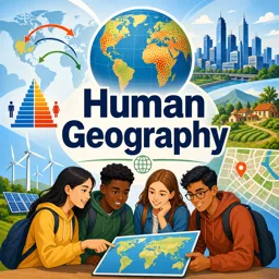
Free CourseHuman Geography course
5

(5)

3h34m

34 exercises
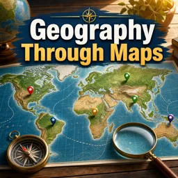
Free CourseGeography Through Maps
5
(1)
20h32m
22 exercises
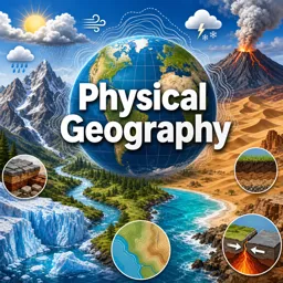
Free CoursePhysical Geography
5
(2)
11h24m
42 exercises
Free CourseGeography
4.8
(31)
6h49m
11 exercises
Free CourseWorld geography
4.7

(28)
2h03m
10 exercises
Free CourseWorld Regional Geography
4.7
(3)
3h42m
10 exercises
Free CourseGeography
4.6
(21)
28h42m
11 exercises
Free CourseUK geography
New
8h58m
17 exercises
Free CourseGeography Course
New
10h34m
9 exercises
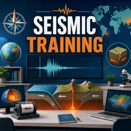
Free CourseSeismic Training
New
58m
7 exercises
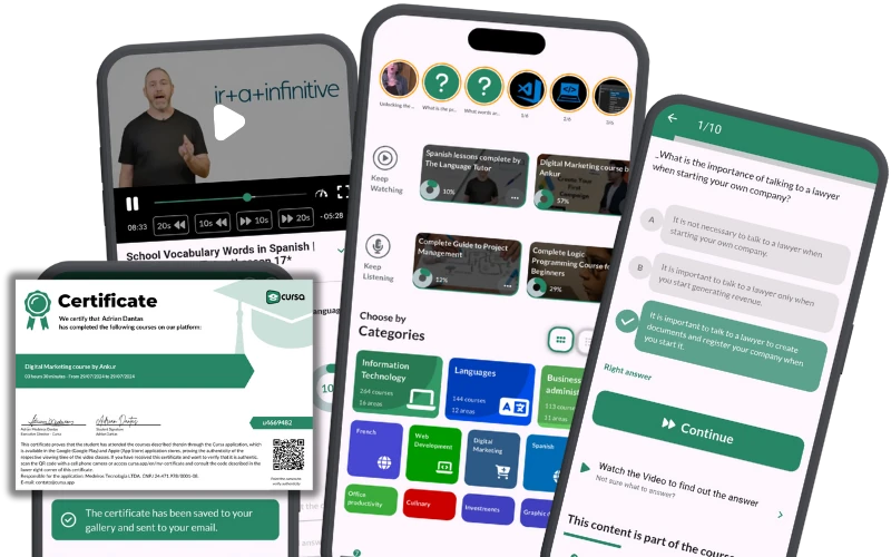
Carry knowledge in your pocket.
Download the Cursa app.
There are hundreds of free courses available, with a free certificate of completion that is saved in your mobile image gallery.
Download the app to access the Course Completion Certificate for Free.

+ 10 million
students

Free and Valid
Certificate

60 thousand free
exercises

4.8/5 rating in
app stores

Free courses in
video and ebooks