Duration of the online course: 58 minutes
New
Strengthen your understanding of Earth processes by learning how seismic waves can reveal what lies beneath the surface. This free online course in Geography within School Subjects introduces seismic refraction as a hands-on method for investigating subsurface layers, turning an abstract topic into an applied skill that connects physics, geology, and real-world problem solving.
You will follow the full workflow of a seismic refraction survey, starting with field acquisition concepts and the practical decisions that make data reliable. The lessons emphasize how to set up key equipment, including correct sensor placement and the fundamentals of preparing a recording system so it captures clear signals in outdoor conditions. Along the way, you will develop the mindset needed for field work: planning, checking connections, understanding what each component is doing, and recognizing early signs of problems before they compromise an entire survey.
As the course progresses, you will move from recording to interpretation, focusing on the meaning hidden inside seismic records. You will explore how the first arrivals are identified, why the first break point matters, and how these early travel times become the foundation for understanding subsurface velocities. With guided exercises, you will practice connecting observed changes in refraction behavior to real changes in the ground, building confidence in reading data rather than guessing.
The learning experience then transitions into processing, where you see how software supports seismic refraction analysis and how processed results transform raw signals into information about near-surface structure. You will also encounter the purpose of tomographic inversion, a key idea for improving subsurface models by iteratively refining velocity variations to better match observed travel times.
By the end, you will have a clearer grasp of how geophysical surveys support engineering, environmental studies, groundwater investigations, and hazard awareness. Whether you are studying for school, preparing for higher education, or exploring practical geoscience tools, this course builds transferable skills: careful measurement, structured analysis, and evidence-based interpretation of the Earth beneath your feet.
58 minutes of online video course
Digital certificate of course completion (Free)
Exercises to train your knowledge
100% free, from content to certificate
Ready to get started?Download the app and get started today.
Install the app now
to access the courseOver 5,000 free courses
Programming, English, Digital Marketing and much more! Learn whatever you want, for free.
Study plan with AI
Our app's Artificial Intelligence can create a study schedule for the course you choose.
From zero to professional success
Improve your resume with our free Certificate and then use our Artificial Intelligence to find your dream job.
You can also use the QR Code or the links below.


Free CourseHuman Geography course
5

(5)

3h34m

34 exercises

Free CoursePhysical Geography
5
(2)
11h24m
42 exercises

Free CourseGeography
4.84
(31)
6h49m
11 exercises

Free CourseWorld geography
4.68

(28)
2h03m
10 exercises

Free CourseWorld Regional Geography
4.67
(3)
3h42m
10 exercises

Free CourseGeography
4.62
(21)
28h42m
11 exercises

Free CourseUK geography
New
8h58m
17 exercises

Free CourseGeography Course
New
10h34m
9 exercises

Free CourseGeography Through Maps
New
20h32m
22 exercises

Free CourseIntroduction to Marine Magnetometry
New
46m
6 exercises
Thousands of online courses in video, ebooks and audiobooks.
To test your knowledge during online courses
Generated directly from your cell phone's photo gallery and sent to your email
Download our app via QR Code or the links below::.
Carry knowledge in your pocket.
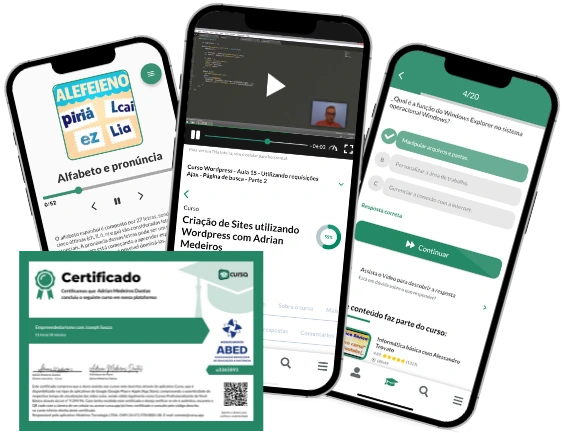
Download the Cursa app.
There are hundreds of free courses available, with a free certificate of completion that is saved in your mobile image gallery.
Download the app to access the Course Completion Certificate for Free.

+ 10 million
students
Free and Valid
Certificate
60 thousand free
exercises
4.8/5 rating in
app stores
Free courses in
video and ebooks