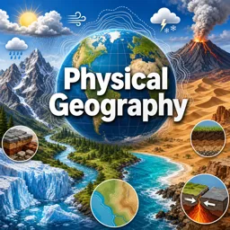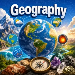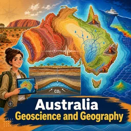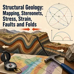


Physical geography is the scientific study of Earth’s natural features and processes, with a special focus on how climate, water, and ecosystems influence one another. These elements are part of a complex web of interactions that shape our planet’s landscapes, biodiversity, and environmental health. Understanding these connections is essential for sustainable living and informed decision-making.
Climate: The Atmosphere in Motion
Climate refers to the long-term patterns of temperature, humidity, wind, and precipitation in a given region. It is influenced by factors such as:
- Latitude – Determines the amount of solar energy received.
- Elevation – Affects temperature and precipitation levels.
- Proximity to Oceans – Regulates temperatures and humidity.
- Topography – Shapes local wind and rainfall patterns.
Studying climate zones helps geographers understand not only weather trends but also how they influence ecosystems and landscapes. Climate change, whether gradual or rapid, can drastically transform habitats and present new challenges.
The Hydrosphere: Water as a Shaper of Landscapes
The hydrosphere includes all water on Earth—oceans, rivers, lakes, glaciers, and groundwater. Water is a powerful force that:
- Erodes mountains and reshapes coastlines.
- Creates valleys, canyons, and deltas.
- Supports ecosystems and human settlements.
By examining the water cycle, physical geographers track how water moves through the environment, impacting both nature and society.
Ecosystems: Life and Its Environments
Ecosystems are communities of living organisms interacting with their physical surroundings. They vary widely, from tropical rainforests to arctic tundras, each shaped by climate, landforms, and water availability. Geographers study ecosystems to understand:
- How plants and animals adapt to environmental conditions.
- The delicate balance between species and their habitats.
- The effects of human activity on biodiversity.
Why These Connections Matter
Recognizing the interdependence of climate, water, and ecosystems allows us to better protect and manage the planet’s resources. This knowledge is crucial for addressing environmental challenges, conserving biodiversity, and creating sustainable futures.