

Introduction to World Geography
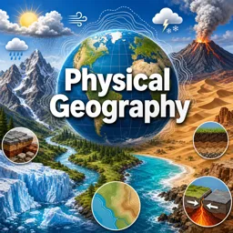
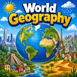
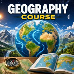
World geography is the study of the Earth’s landscapes, environments, and the relationships between people and their environments. This field examines both the physical properties of the planet and the human societies spread across its surface, aiming to understand how location influences culture, economy, and interaction.
The Continents and Their Features
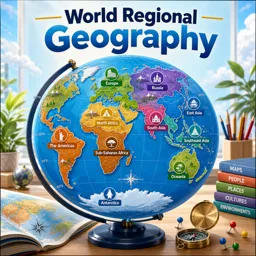
The Earth consists of several massive landmasses known as continents. While there are varying models, the most widely accepted geographic model recognizes seven continents: Africa, Antarctica, Asia, Europe, North America, South America, and Australia. Each continent boasts distinctive physical geography, climate zones, and natural resources.
The World’s Major Oceans
Covering over 70% of the Earth’s surface, the world’s oceans—Pacific, Atlantic, Indian, Southern, and Arctic—play critical roles in regulating climate, supporting biodiversity, and enabling global trade. Understanding their currents, ecosystems, and influence on weather and climate is central to world geography.
Population Patterns and Human Geography
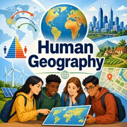
Human geography explores the spatial distribution of people across the globe. Population density varies tremendously, with some regions like East Asia and South Asia hosting billions, while others, such as parts of Northern Canada or the Sahara Desert, are sparsely populated. These patterns are influenced by climate, topography, access to resources, and historical migration trends.
Political Boundaries and Regions
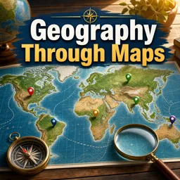
Geography also studies the borders drawn between nations and regions. Political boundaries can reflect natural features like rivers and mountain ranges, or be the result of historical and cultural developments. Understanding political geography is crucial for grasping current events and global relations.
Why World Geography Matters
World geography is essential not only for academic purposes but also for fostering global awareness, understanding international issues, and appreciating the diversity of our planet. It helps us recognize how interconnected our world is, influencing everything from environment to economics and culture.